Short answer: The best easy hiking in Seoul starts with Naksan City Wall, Inwangsan Jarak-gil or Ansan Jarak-gil. These routes give you forest or skyline views without committing to a steep summit. Choose one exact trail, save its Korean start and finish points, and leave enough daylight for a relaxed return.
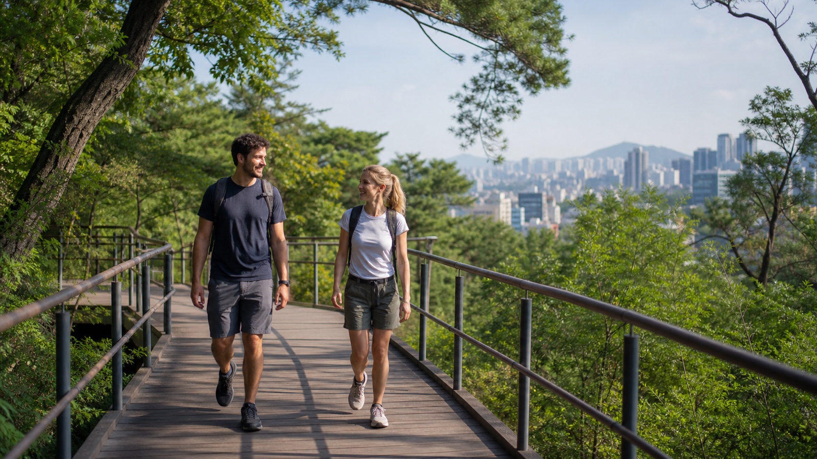
Choose the trail, not only the mountain.
Inwangsan’s foothill path is easy; its exposed summit route is not the same walk. The same mountain can contain paved roads, wooden decks, stone stairs and steep rock. Follow the route name below rather than searching only for the peak.
Easy hiking in Seoul: quick comparison
| Route | Typical time | Best for | Main caution |
|---|---|---|---|
| Naksan City Wall | About 1 hour | History and night views | Steps and neighborhood slopes |
| Inwangsan Jarak-gil | About 1 hr 10 min | Central skyline views | Do not follow summit signs |
| Ansan Jarak-gil | 1.5–2.5 hours | Gentle forest loop | Full loop is 7 km |
| Namsan Circuit Road | 40–90 minutes | Paved tower approach | Continuous uphill sections |
| Achasan | Under 2 hours | Short summit-style outing | Dirt, stones and stairs |
Times are orientation estimates from official tourism guides, not guarantees. Photo stops, weather, crowds and your starting station can make an easy hiking in Seoul day longer.
1. Naksan City Wall: easiest historic route
Follow the Naksan Section from Hyehwamun Gate to Naksan Park, Ihwa-dong and Heunginjimun Gate. Korea Tourism Organization classifies this 2.1 km section as easy and gives a walking time of about one hour. Start near Hansung University Station on Line 4 and finish near Dongdaemun, so there is no need to backtrack.
This is the best first choice for travelers who want easy hiking in Seoul in ordinary walking shoes. It feels more like an elevated city walk than a mountain expedition. Residential lanes are part of the route; keep voices low, do not photograph into homes and give local pedestrians room.
Open the Naksan start in Google Maps
2. Inwangsan Jarak-gil: foothill views without the summit
The official foothill route runs from Sajikdan Altar through Hwanghakjeong Pavilion and Mumudae Observatory to the Yun Dong-ju Literature Museum. Visit Seoul lists 2.73 km, an average time of 1 hour 10 minutes and an easy difficulty rating.
Save the Korean name 인왕산 자락길. Do not substitute the Inwangsan summit or Seoul City Wall ridge. Those alternatives add exposed granite and steeper climbing. The Jarak-gil is the practical easy hiking in Seoul option for a central location and evening views, but use lighting and extra caution after sunset.
Open the Inwangsan foothill start in Google Maps
3. Ansan Jarak-gil: longest gentle forest walk
Ansan Jarak-gil is a 7 km circular barrier-free route with mild inclines and extensive wooden decking. Official Seoul tourism information gives roughly 1.5–2.5 hours for the loop and notes access near Dongnimmun Station on Line 3.
The surface makes this route friendly to many walkers, but 7 km is still meaningful distance. For a shorter outing, turn around after the metasequoia forest or another clearly marked point. Do not add the beacon summit unless everyone wants the extra climb. This is the best easy hiking in Seoul choice for shade and a steady forest rhythm.
Open Ansan Jarak-gil in Google Maps
4. Namsan Circuit Road: paved access to a major landmark
From Namsan Library, the circuit road reaches the octagonal pavilion area in about 40 minutes according to VisitKorea. The path is paved and easy to follow, although the uphill grade is continuous. You can pause at viewpoints or use a bus or cable car for part of the return plan.
Do not confuse this short approach with the full Namsan section of Seoul City Wall, which official guides rate moderate and place around three hours. Search for 남산도서관 as the practical start. Namsan works well when your easy hiking in Seoul plan needs to fit between central-city attractions.
Open the Namsan start in Google Maps
5. Achasan: a short mountain feel
Achasan is about 287 m high, and Seoul’s official guide describes its gentle slopes as suitable for family outings, with a round trip of less than two hours. The trail entrance is about a 15-minute walk from Gwangnaru Station on Line 5.
Unlike the wooden Jarak-gil routes, Achasan includes dirt, stones and steps. Treat it as the upper end of “easy.” Turn around at the first viewpoint if footing, heat or fatigue makes the summit unnecessary. It is the best selection when you want easy hiking in Seoul to still feel like a real mountain.
Open the Achasan approach in Google Maps
How to navigate the route
- Save the Korean start, finish and route name before leaving Wi-Fi.
- Use the NAVER Map Korean-address workflow for the trailhead.
- Check the return station separately with the Seoul subway and map-app guide.
- At every junction, prioritize the official trail sign over an old blog screenshot.
General Google Maps limitations in Korea are covered in the Korea Google Maps guide. A route line that reaches the mountain name is not proof that it reaches your chosen entrance.
What to wear and carry
For these beginner routes, bring shoes with grip, water, sun or rain protection, a charged phone and a small layer. Smooth fashion soles become unreliable on wet decking, stone and leaves. In summer, start early and reduce distance in heat or heavy humidity. In winter, shaded sections can stay icy.
Seoul Hiking Tourism Centers at Bukhansan, Bugaksan and Gwanaksan offer multilingual information, gear rental, lockers, changing rooms and showers. They are useful for larger hiking plans but are not located at every beginner route. Reserve gear through the official center instead of assuming walk-in stock. The broader Korea hiking guide explains closures, equipment and national-park planning.
Safety and etiquette
- Check weather and trail notices on the same day.
- Stay on marked paths and respect closed sections.
- Keep music private and walk single file on narrow sections.
- Carry all rubbish out and do not feed wildlife.
- For serious injury or immediate danger, call 119 and give the nearest sign or location marker.
Save the Korea emergency numbers guide before going offline, and review the Korea etiquette guide for shared public spaces.
Frequently asked questions
Can I hike in Seoul without hiking boots?
For Naksan, Inwangsan Jarak-gil and paved Namsan sections, grippy walking shoes are usually enough in dry conditions. Boots may be preferable in rain, ice or on rougher Achasan sections.
Which route is easiest?
Naksan City Wall is the shortest clear point-to-point choice. Ansan Jarak-gil has the gentlest barrier-free surface but is longer if you complete all 7 km.
Is easy hiking in Seoul suitable at night?
Naksan and Inwangsan foothill viewpoints are known for night views, but darkness changes navigation and footing. Stay on lit open paths, avoid isolated shortcuts and finish earlier if unfamiliar with the route.
Official sources
- KTO: K-Hiking Adventures in Seoul
- Visit Seoul: Inwangsan Jarak-gil
- Visit Seoul: barrier-free Ansan course
- KTO: Namsan Park circuit road
- Seoul Metropolitan Government: Achasan
Last verified August 12, 2026. Trail access, surfaces, center operations and weather controls can change; check the official route on the day.